歌連臣山
歌連臣山 (Mount Collinson),也稱哥連臣山,是香港的一座山峰,位於柴灣以南,海拔348米。[1]歌連臣山山腳建有哥連臣角火葬場等多個墳場。該山名源自湯馬斯·歌連臣,他繪製了第一張精確的香港地圖。
| 歌連臣山 | |
|---|---|
 歌連臣山 歌連臣山的位置 | |
| 最高点 | |
| 海拔 | 348(1,142英尺) |
| 22°15′05″N 114°14′06″E | |
| 地理 | |
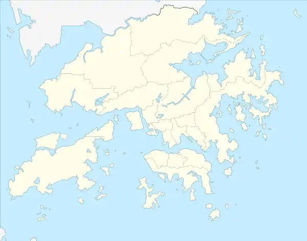
| 位置 | 香港東南部 |
This article is issued from Wikipedia. The text is licensed under Creative Commons - Attribution - Sharealike. Additional terms may apply for the media files.