米爾恩地
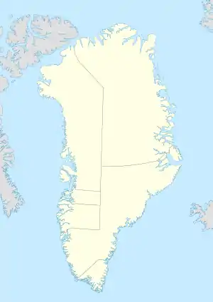
米爾恩地是格陵蘭東部的島嶼,島嶼長113公里、寬45公里,面積3,913平方公里,是格陵蘭第三大島嶼,排在主島和迪斯科島之後,島上最高點海拔2,434米。
| 米爾恩地 | |
|---|---|
 | |
| 地理 | |
 米爾恩地 (格陵蘭) | |
| 位置 | 格陵蘭 |
| 坐标 | 70°41′N 26°45′W |
| 面積 | 3,913平方(1,511平方英里) |
| 长度 | 100千米(60英里) |
| 宽度 | 40千米(25英里) |
| 最高海拔 | 2,434米(7,986英尺) |
| 管轄 | |
| 人口统计 | |
| 人口 | 无人居住(2005年) |
| 族群 | 無 |
外部連結
This article is issued from Wikipedia. The text is licensed under Creative Commons - Attribution - Sharealike. Additional terms may apply for the media files.